Welcome to the ISGS Resources Site
Explore to find commonly requested ISGS maps and data.
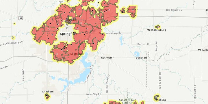
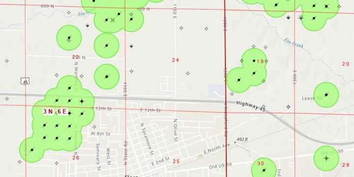
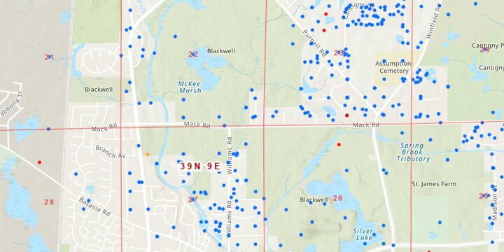
Popular Applications
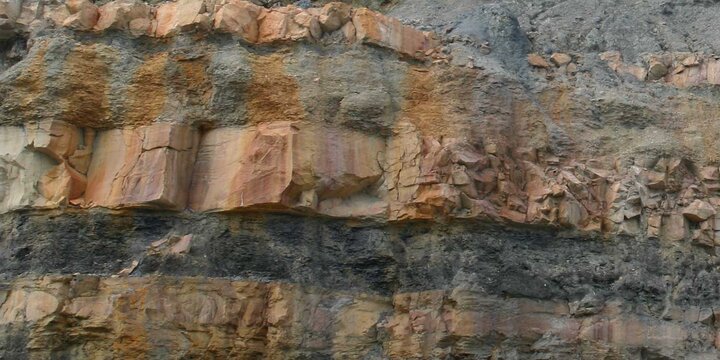

Access Data from ISGS Research
Visit the Geospatial Data Clearinghouse to download published data.